Landsat Image Processing
You can access this tutorial for FREE at Instructables.com. A direct link to this tutorial is:
https://www.instructables.com/id/Creating-Satellite-Imagery-Landsat/
Build
Instructions for building this tool at . The anticipated cost of materials to build this tool is No cost. It may take A few hours.
Borrow
Buy
| Description |
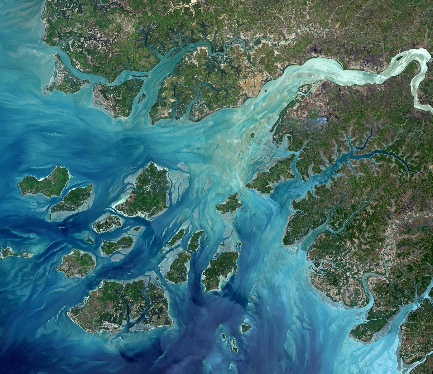
In this tutorial, we're going to focus on imagery from Landsat 8, a NASA (National Aeronautics and Space Administration) and USGS (United States Geological Survey) satellite. However, this can easily apply to older versions of Landsat data (Landsat 7 and earlier). These images can be used for mapping, trend visualization, examination of agricultural health, for education, or just for fun. |
|---|---|
| Ideal Age Group | Elementary school (6 - 10 years), Middle school (11 - 13 years), High school (14 - 17 years), College, Graduate students, Adults, Families, Seniors |
| Expected lifetime | Should last more or less forever |
| Topics | Climate & Weather, Education, Nature & Outdoors, Geology & Earth Science, Computers & Technology, Astronomy & Space, Ecology & Environment, Agriculture, Geography |
| Activities | Exclusively online |
| Tool updated | April 12, 2017, 7:29 p.m. |

Or Sign Up with…